
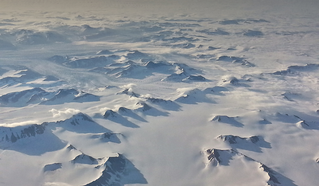
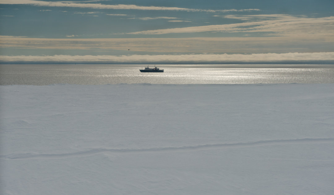
Anyone travelling on foot in the mountains or in the polar regions is particularly aware of one danger: crevasses. If the cracks can be seen in the ice, everything is fine. However, snow bridges have often formed over the crevasses, creating a false sense of security. An international team of researchers has now developed a method of making such crevasses visible beneath the snow with the aid of satellite images.
The team used satellite imagery from the TerraSAR-X mission, operated by the German Aerospace Center, to develop ways to detect crevasses and cracks in the ice, even when meters of snow cover it. To do this, they examined imagery from the McMurdo shear zone and also the now well-known Brunt Ice Shelf, where the giant A74 iceberg had recently broken off, and confirmed their observation by comparing it with walkover information from ground penetrating radar imagery.
“This is a tool that can change how crevasse risk is managed and reduced in Antarctic field operations.”
Marsh et al. (2021) Cold Reg Scie Tec 187
The results of the study showed that microwave radar imaging, polarization and appropriate angular adjustment can be used to make visible even narrower cracks and crevices under a snowpack up to 10 meters thick. “This is a tool that can change how crevasse risk is managed and reduced in Antarctic field operations,” the authors of the paper write in conclusion. “It also provides a scientific method for mapping crevassed regions to infer information about fracture and ice properties.”
But the team warns against too much euphoria in its work. This is because the quality of the information, according to the scientists, depends on the one hand very strongly on the image parameters of the satellite images. Shooting angle, viewing direction of the sensor, polarizing filter and other technical factors must be set and given accordingly in order to detect the crevasses on the images. The type of snow and its quality also influence the informative value of the image recordings. But at least: when comparing the statements with the ground observations, the team was able to show that crevasses were neither falsely predicted nor omitted. “While this is a positive outcome, additional ground observations from other areas would be needed before this technique could be relied on by itself for safety applications,” the team writes in their paper, published in the journal Cold Regions Science and Technology.
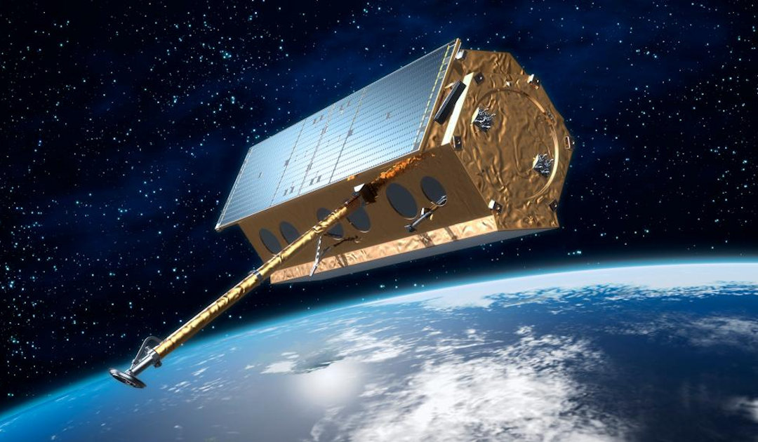
The images were taken by the TerraSAR-X Earth observation satellite of the German Aerospace Center. This satellite, which has been orbiting at an altitude of 514 kilometres above the polar regions since 2007, is equipped with a special radar sensor. This sensor allows a wide range of different recording possibilities in the microwave range. In addition, the sensor itself can take the images at different angles relative to the surface without the satellite having to change its orbit. The regions studied by the researchers included the zone between McMurdo and Ross Ice shelves, the so-called McMurdo shear zone, where numerous crevasses and fissures also repeatedly obstruct the route towards the South Pole. The second region was the Chasm-1 rift of the Brunt Ice Shelf and the McDonald Ice Rumples transverse to it. This region is particularly interesting as this crack is considered to be the next iceberg break-off on this ice shelf.
Dr Michael Wenger, PolarJournal
More on the subject:


