


The three-dimensional map of Greenland offers a unique perspective on the development of Greenland, allowing residents to plan their outings. It will be useful for municipalities to study their urban plans remotely with companies from other municipalities or from abroad.. Progress could be made in the transcription of folklore thanks to this digital tool.
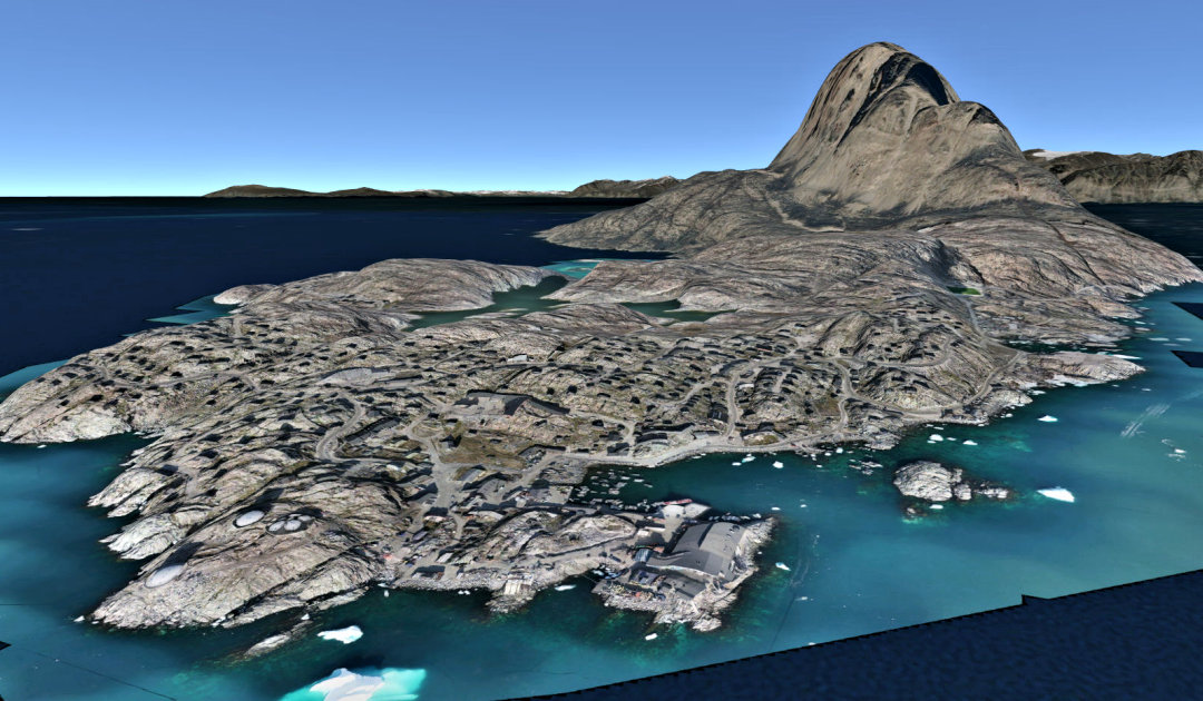
The coast of Greenland winds over a distance of forty-four thousand kilometers, where fifty-six thousand people live distributed in a hundred towns and villages. Only one hundred and fifty kilometers of roads pave the way for land transportation. The Greenlandic Government has just set up a 3D model of the island to overcome the physical barriers that limit developers and individuals in their projection in this developing country.
The digital tool is called Greenland in 3D, manufactured by the Danish firm Niras. Jonas Clemens managed this project from the Department of National Planning under the Ministry of Finance and Gender Equality of the Government of Greenland (Naalakkersuisut).
The large regions of the island access a more complex version of the 3D model than the simple users. “If a municipality wants to open up an urban space for construction, it can show it on the 3D model and investors can study its potential. For example, the view, if they want to build a hotel, or the access to the center and the airport,” explains Jonas Clemens. Contractors in the real estate, tourism or mining industries can then draw digital models representing the physical aspect of the project.


“On the subject of building new airports, we’d like to put in the plans so that people can see what they’ll look like,” he says.
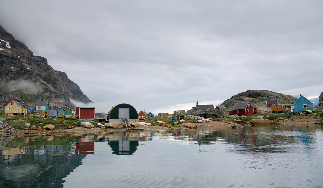
“For the moment, it is mostly Greenlandic people who use it, they can plan their hunting trips or hiking, and without generalizing, most of them are rather visual and think in 3D, when they tell the folk stories, the geographical markers are often descriptions of the natural environment. This model could be used to collect the names of places, most of them are not on the maps, explains Jonas Clemens. It is hoped that young people will use the 3D model and consult with the seniors, for this collection,” he describes.
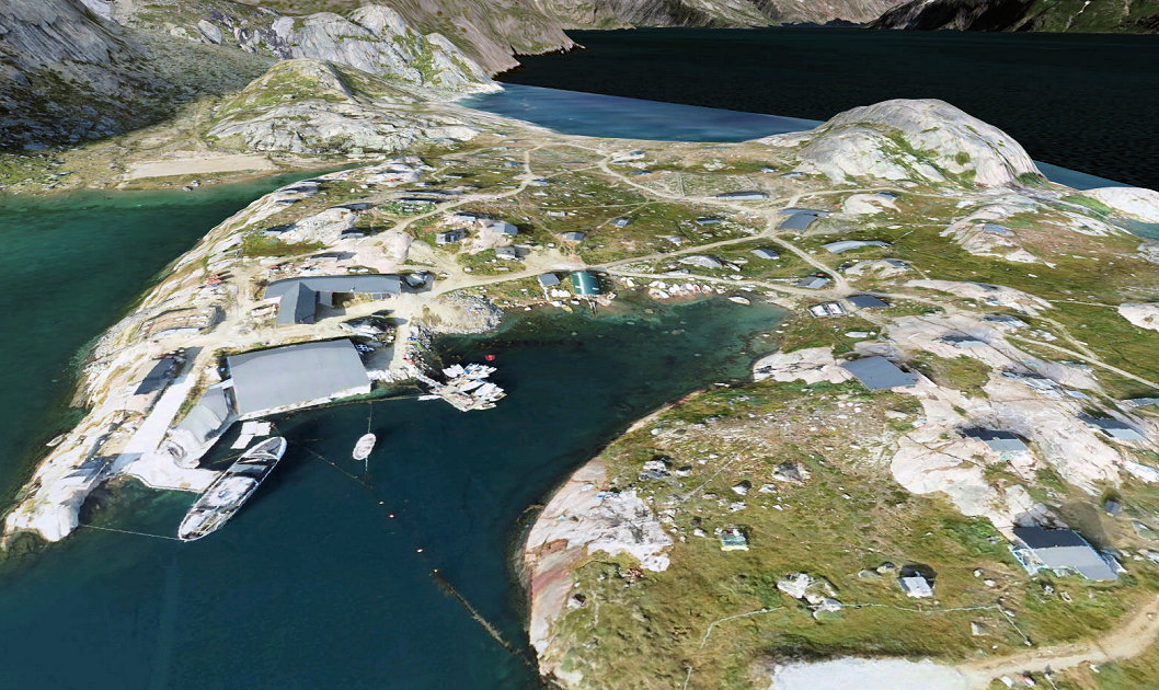
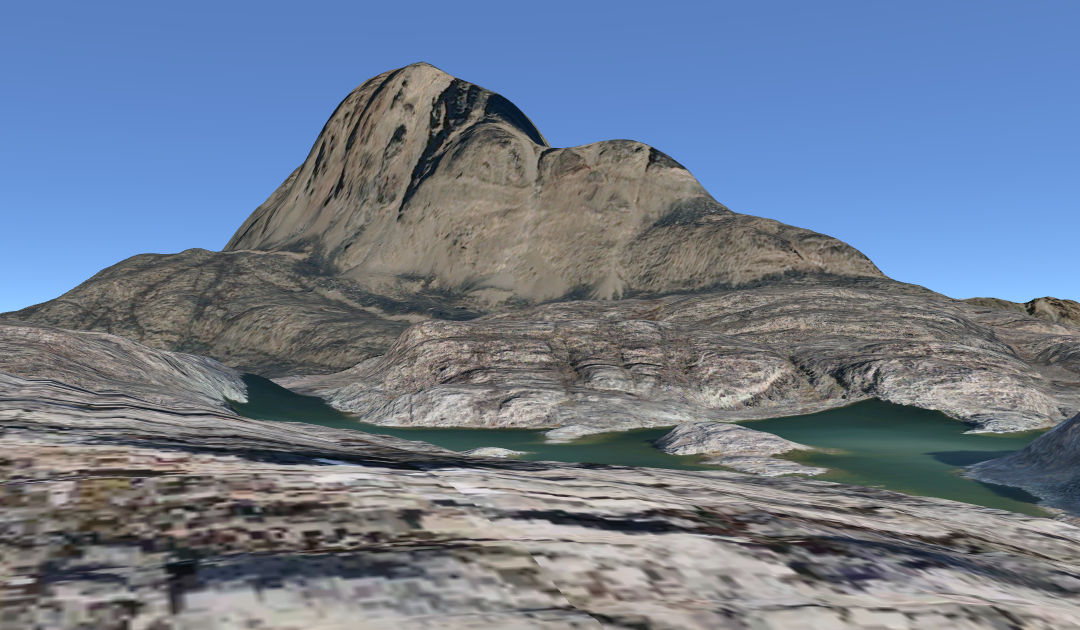
Outside the cities, satellite images are accurate to within 2 meters, in the cities, drone images are accurate to within 15 cm and will be updated every two years. “For the moment an algorithm draws the buildings automatically in the main urban centers, the next step will be to reach an accuracy of 15-20 cm, for all inhabited areas”, says Jonas Clemens.
One tool projects the presence of light according to the periods of the year and another indicates the geographical coordinates. Its use has no real limits,” he concludes, “we can add any type of information as long as it is in the right format.
Camille Lin with Michael Wenger, PolarJounal
Link to the 3D model : https://eu.opencitiesplanner.bentley.com/niras/greenland
Learn more about this topic:


