
Greenland experienced its warmest and wettest September in recorded weather history in 2022, a European Union report published in April finds. In the report, climatologists like Jason Box describe these anomalies
The European Climate Change Report, published on 19 April, focuses on heatwaves in Greenland in 2022. “I contributed to this section where the temperature records are exceptional,” said Jason Box, a climatologist with Geus, the Danish and Greenlandic geological survey. “I enjoyed working on this event because I had a very good data set. The European Union was receptive to looking in detail and reconstructing the story. Extreme events are a new way to understand climate change. Before this we were focusing on the slow rise of the mean.”
A series of three heatwaves hit Greenland at the end of the summer. Their source: atmospheric currents. “Both storm-driven moisture transport and upwelling of tropical moisture to Greenland were observed,” Mr Box said. These upwellings of moisture from the subtropics and mid-latitudes of the Atlantic produced rainfall that was much heavier than normal. The most intense of the three waves hit Greenland between 2 and 6 September, followed by one lasting from 10-16 September, and the third, from 23-28 September. This third heatwave was related to Hurricane Fiona and resulted in wet weather in Canada. As the upwellings moved, they first passed over Greenland and then with less intensity Iceland and Norway. When upwellings of this sort pass over land, the heat and humidity they contain turn into rain.
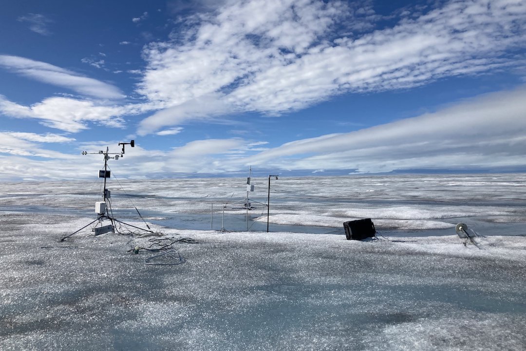
In the case of Greenland, the upwellings resulted in rain at altitudes as high as 2,000m. At that time of year, precipitation that high up is normally in the form of snow. Rainfall in the west and south was especially intense. There, about 350mm fell in September, twice the seasonal normal. The rainfall and the heat led to record ice loss.
“The surface temperature of the ice in the center of the cap was about 8°C higher than average,” Mr Box said. A temperature that high has not been recorded for at least 73 years, but these phenomena have been appearing increasingly more often since the 1990s. During the heatwaves, the temperature rose above the freezing point. The most striking example was one set of temperature measurements at a site 2,883m above sea level that showing temperatures remaining above freezing for 39 hours straight. Above-zero temperatures had only been observed twice before, but those events, in 2003 and 2016, lasted only four hours and one hour. On 3 September, 23% of Greenland’s glacier surface was melting. According to Mr Box, the melting area recorded during these three heatwaves was twice as large as the maximums recorded between 1991 and 2021.
The last heatwave, at the end of September, only ended when it was overtaken by violent weather phenomenon known as a piteraq (“the wind that attacks you” in Greenlandic) that brings frigid air down from the ice cap in gusts that reach 180km/h. In inhabited areas, these weather events leave damaged buildings and overturned boats and cars in their wake.
Camille Lin, PolarJournal
Source
European State of the Climate 2022
More about this topic


