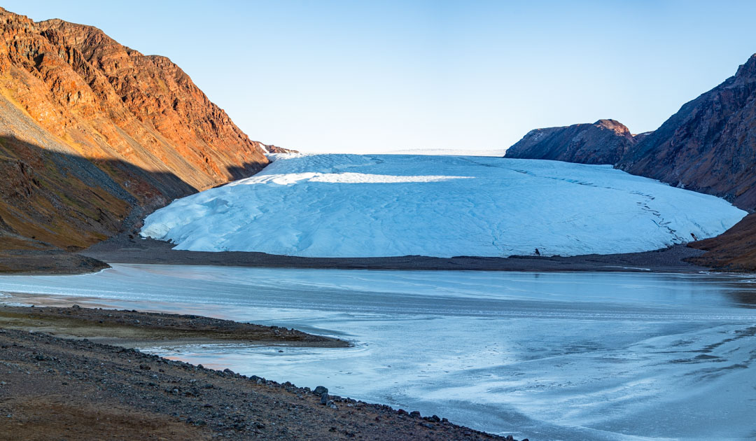
The changes to the landscape in Greenland are unmistakable: The ice is melting, vegetation is spreading – within the last 30 years, almost 30,000 square kilometers of the Greenland ice sheet and glaciers have disappeared and the vegetation has doubled.
Satellite data, especially the early records, are an enormously important resource for modern Earth system research. Data from the Landsat-5 and Landsat-8 satellites were the basis for a study recently published in Nature Scientific Reports by a research team from the University of Leeds on the changes in the land surface in Greenland.
The team used satellite records from the period between the late 1980s and late 2010s and found that around 28,707 square kilometers of Greenland’s ice sheet and glaciers have melted. At the same time, there was a doubling of the total area of vegetation to 87,475 square kilometers, a quadrupling of wetlands, an increase in meltwater, a decrease in bare bedrock and an increased coverage of fine unconsolidated sediment. All these changes are the result of global warming, which is progressing twice as fast in the region as the global average.
What happens when the ice melts?
Bare bedrock or coarse sediment is exposed, the albedo effect of the ice no longer plays a role and allows the surfaces to absorb more solar energy, which in turn leads to warming of the land surface and causes even more ice to melt. First, tundra vegetation slowly settles on the bare rock, later, when some soil has formed, dwarf trees appear.
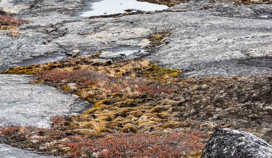
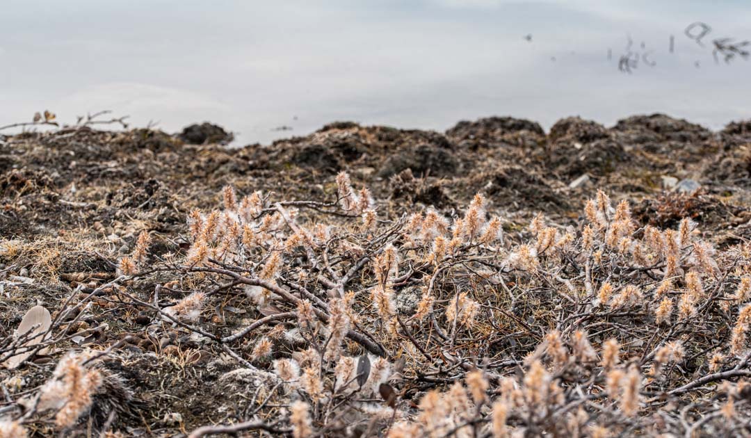
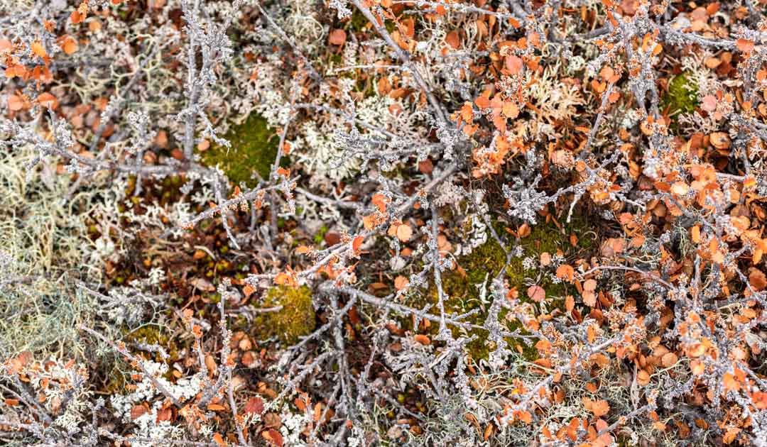
At the same time, the meltwater transports sediments and silt, which over time develop into wetlands with associated vegetation.
Due to the greater amount of meltwater, the water levels of the lakes are also rising, with the water absorbing significantly more solar energy than snow and also contributing to further warming of the land surface.
Not to forget, ice loss contributes significantly to sea level rise and freshwater input into the Arctic Ocean.
Ice loss, especially at the edges
The researchers report that the ice loss was concentrated on the edges of today’s glaciers, but also in the north and southwest. There was also heavy ice loss in some areas in the west, central northwest and southeast.
The vegetation spread particularly in the southwest, east and northeast. Typical wetland plants increased most in the vicinity of Kangerlussuaq in the southwest and in individual areas in the northeast. In general, the team observed an increase in vegetation along a gradient between 63 and 69 degrees north latitude and a decline north of that.
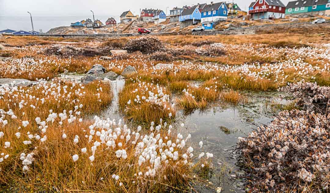
The team suspects that the spread of vegetation, especially in wetlands, favours the thawing of the permafrost and makes the upper, active layer thicker, releasing greenhouse gases that were trapped in the soil, especially methane. In populated areas, the thawing of permafrost can have an impact on communities, buildings and infrastructure.
In order to predict the effects of warming on the land surface, the researchers developed a model for the areas in Greenland where “marked and accelerated” changes are to be expected in the future.
“The expansion of vegetation, occurring in tandem with the retreat of glaciers and the ice sheet, is significantly altering the flow of sediments and nutrients into coastal waters,” explains Michael Grimes, PhD student at the School of Geography at the University of Leeds and lead author of the study, in a press release.
“These changes are critical, particularly for the indigenous populations whose traditional subsistence hunting practices rely on the stability of these delicate ecosystems.”
Julia Hager, PolarJournal
More about this topic:


